Carrito


.jpg)


Ventajas:
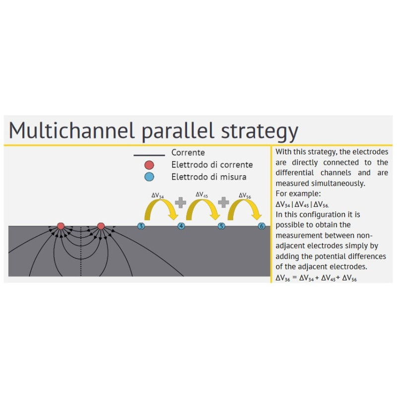
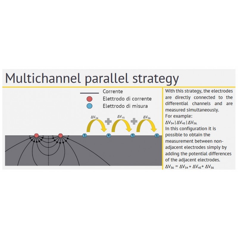
► Paralelización de medidas para configuraciones polo-dipolo, polo-polo, dipolo-dipolo y tridimensional
► Resolución de 24 bits
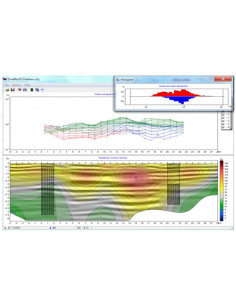
► Pseudosección en tiempo real
► Permite exploraciones VES y CT.
Ventajas de la arquitectura de adquisición de datos MAE ET300:
- Reducir drásticamente el tiempo necesario para completar un levantamiento.
- Posibilidad de abordar investigaciones que antes eran impensables, debido al elevado número de medidas requeridas
- Posibilidad de repetir las medidas varias veces para minimizar la incertidumbre, para el mismo tiempo empleado
- Menor consumo energético
- Registro de la desviación típica para cada medida
- Representación gráfica con barras de error de los puntos de medida
- Visualización en tiempo real de la pseudosección de resistividad
- Disponibilidad de una función de repetición automática de las medidas con un porcentaje de error superior a un umbral configurable.
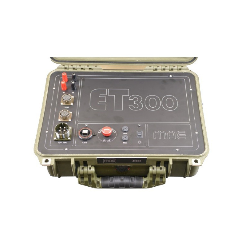
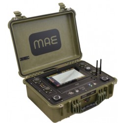
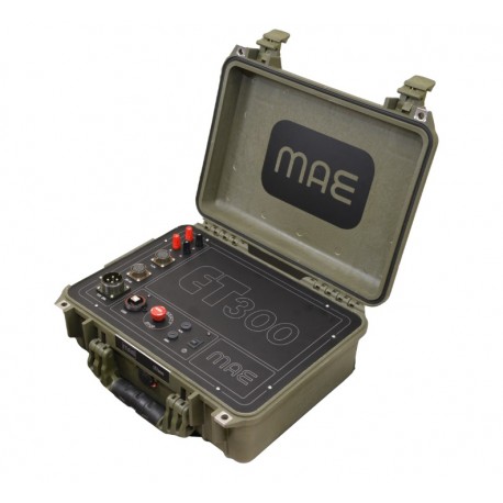
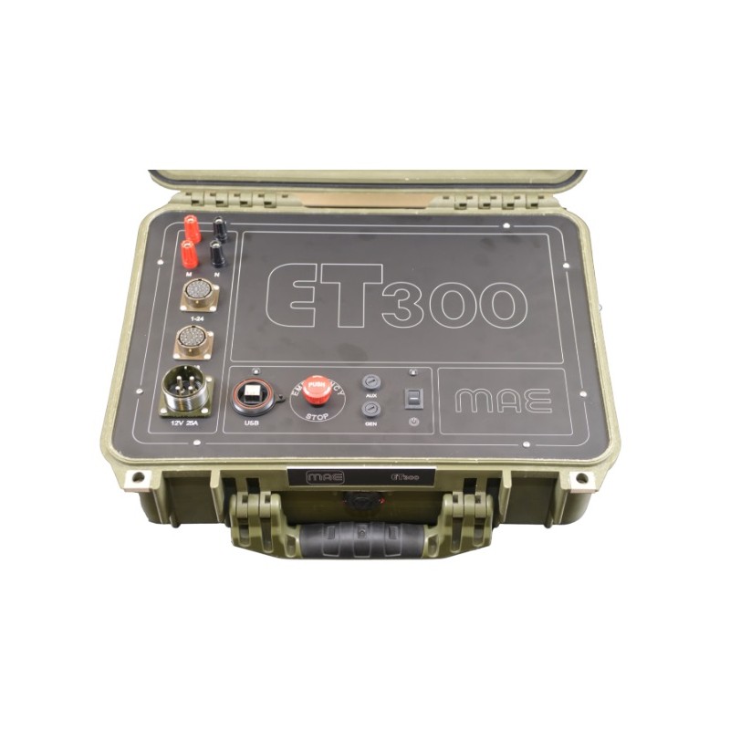
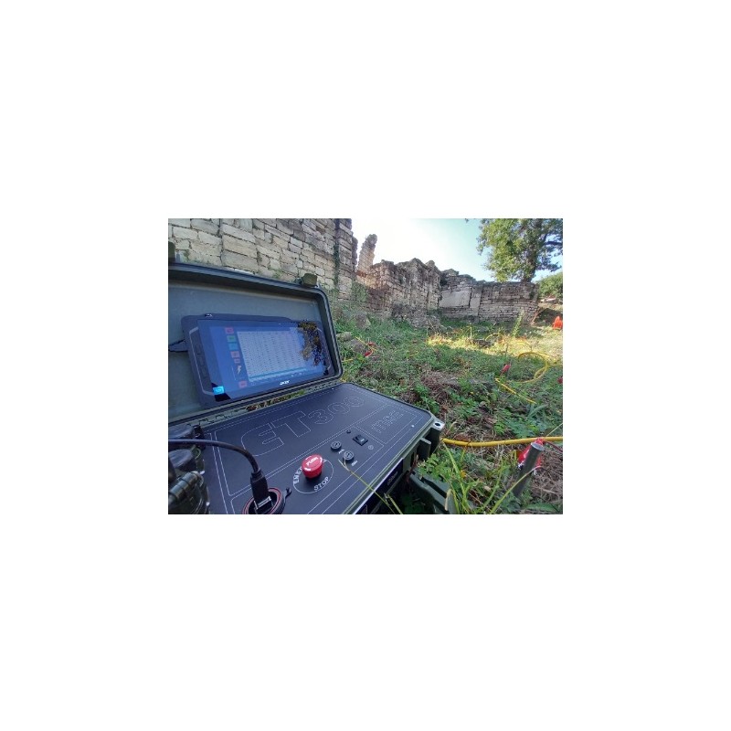
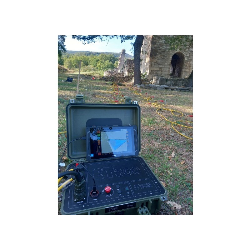
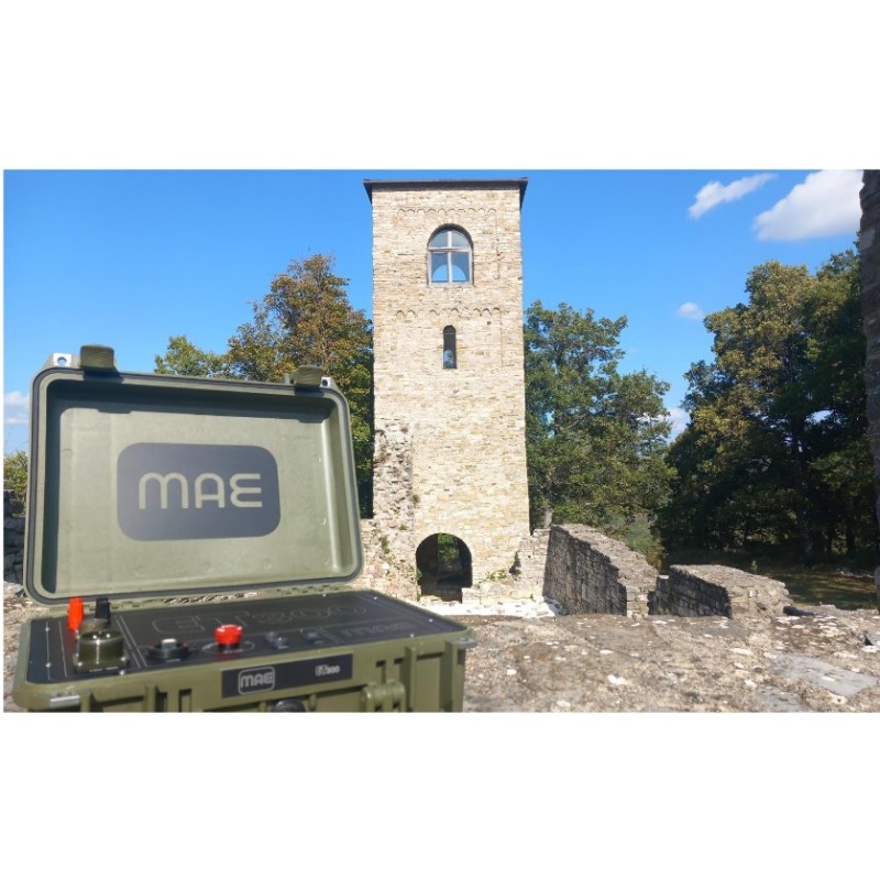
El ET300 es un nuevo georesistivímetro compacto para prospecciones geoeléctricas SEV y multielectrodos con 24 o 48 electrodos.
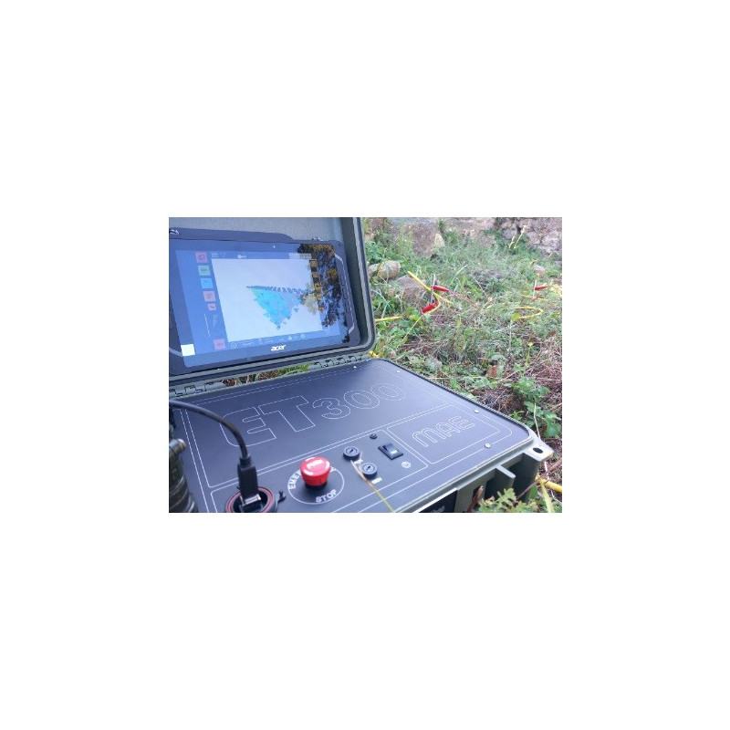
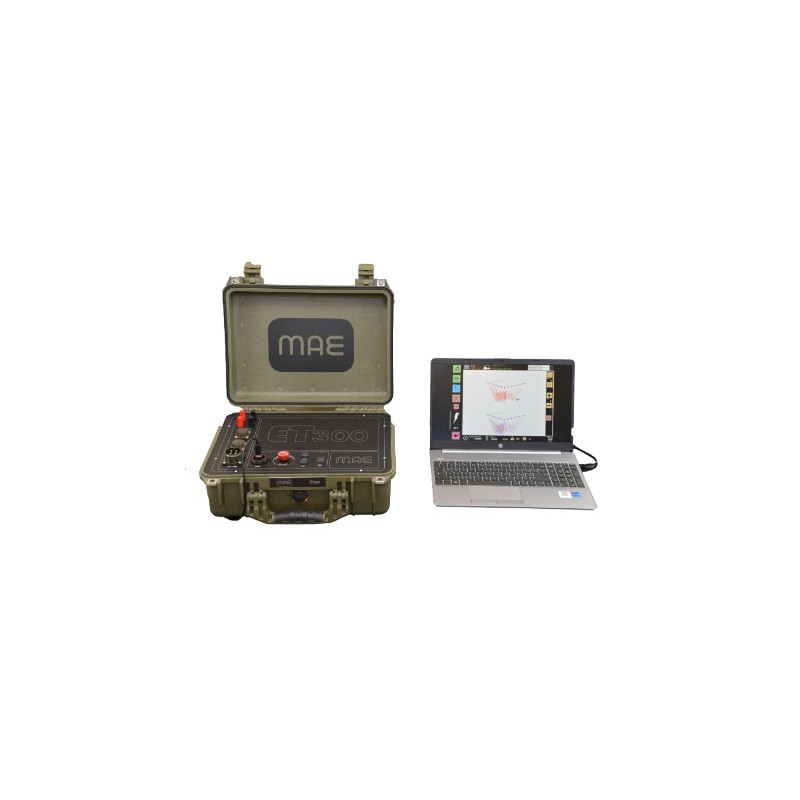
La característica principal de esta instrumentación es la máxima versatilidad de uso combinada con la alta velocidad de ejecución de los estudios, tanto 2D como 3D. El ET300 se maneja a través de un ordenador portátil o tableta normal mediante conexión USB.
Está equipado con la función "vista previa" que permite al usuario visualizar una vista previa de la pseudosección derivada del tren de datos recién adquirido directamente en el campo. El uso de esta función permite al operador verificar inmediatamente los datos registrados.
La instrumentación realiza la medición o el ciclo de medición configurado por el usuario en modo automático.
Una vez concluido el ciclo de medición, los datos adquiridos se pueden visualizar inmediatamente utilizando la función "vista previa", cuyo uso permite al operador verificar inmediatamente los datos registrados y procesarlos con el software de procesamiento de datos relativo.
General:
Tecnología ADC: ADC Delta-Sigma de 24 bits
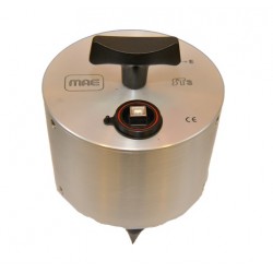
Número de electrodos: 24-48 (con 20 canales)
Configuraciones de matriz: 1D, 2D, 3D
Mediciones: Potencial propio, resistividad, polarización inducida.
Dimensiones: 40x33x17 cm
Peso: 6,3 kg
Compatibilidad de exportación: RESinv, ERTlab, ZondRES, MAE
Función roll-along: controlada por software
Pseudosección en tiempo real: 1D, 2D y 3D
Generador de secuencias: 1D, 2D y 3D
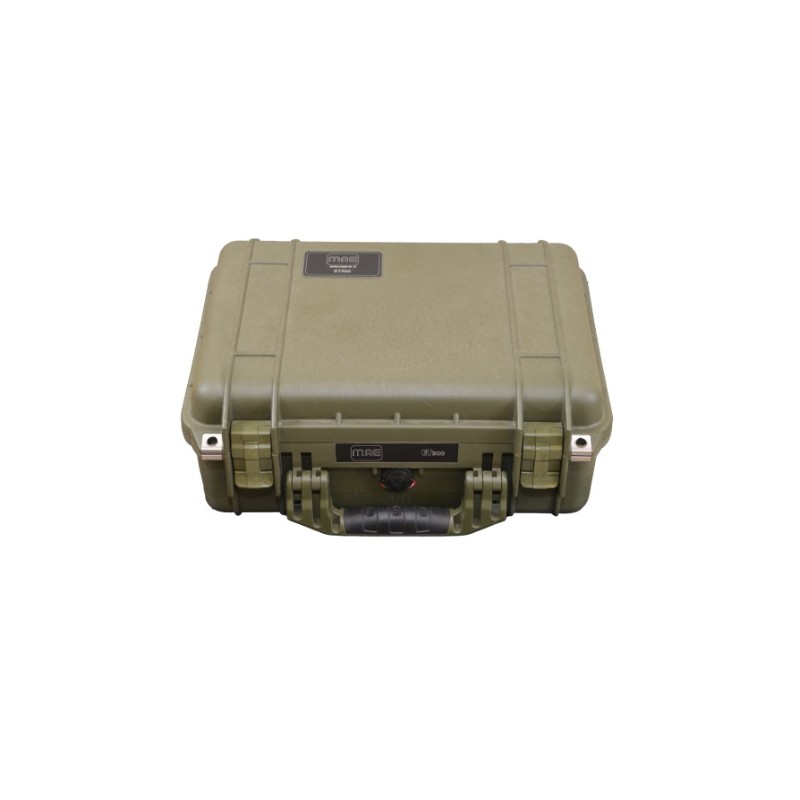
Caso: IP67
Condiciones ambientales: -20°C/90°C
Fuente de alimentación: Batería externa de 12 V, se sugiere 100 Ah
Consumo medio: 0,5A, hasta 50A pico
Salida:
Potencia de salida: 300W
Voltaje de salida: ±50V, ±100V, ±200V, ±400V, ±800V
Salida de corriente: hasta 6 A a 50 V, hasta 0,375 A a 800 V
Diagrama de potencia: Personalizado desde 250ms
Precisión: ±0.2μA
Precisión: <0,2%
Entrada:
Estrategia de mediciones: Paralela
Voltaje de entrada: ±25V
Precisión: 1,5 μV frente a escala completa
Precisión: <0,2%
Impedancia de entrada: 2,5 MΩ
Apilamiento y reducción de ruido: Hasta 255
Filtro de muesca de entrada: 50 Hz
Ajuste de potencial propio: Automático
Ventanas de IP: hasta 20 ventanas en intervalos de 20 ms
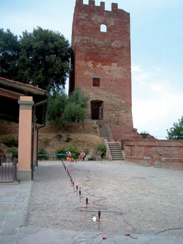
Multi-electrode Geoelectrical Prospecting+
V.E.S. Vertical Electrical Survey+
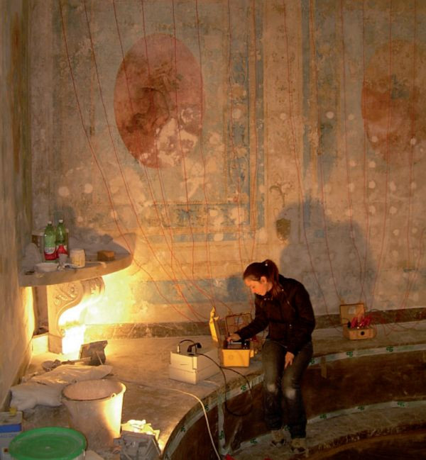
Induced Polarization Measurement+
Spontaneous Potential Measurement+
.jpg)
.jpg)


