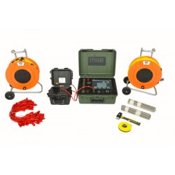
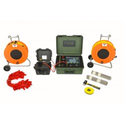
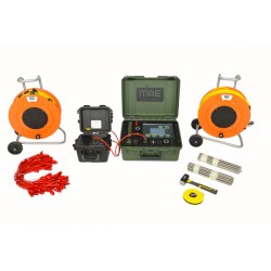
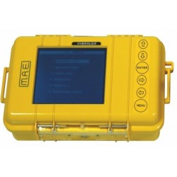
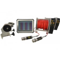
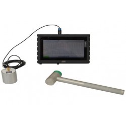
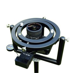
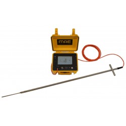
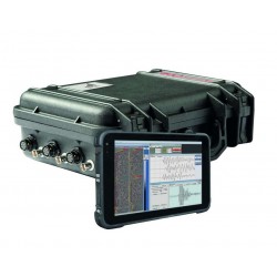
MAE C313SEV Georesistivimeter for Quadrupole measurements

C313SEV

MAE srl

New

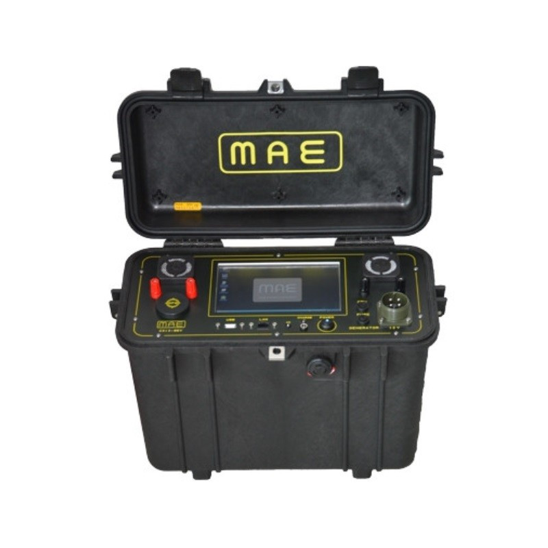
Georesistivimeter for quadrupole measurements

Add to wishlist

Type of Instrument Georesistivimeter

A Digital Georesistivimeter is used for V.E.S.Vertical Electric Surveys.
This unit is characterized by its maximum resolution and accuracy in geoelectric survey and great functioning rapidity.
Once the data acquisition is completed, it can be immediately processed with related data processing software.
The operating power is supplied by an embedded battery pack and it is managed by a microprocessor able to provide ample autonomy of data acquisition.
Recording and saving of data takes place on an internal Disk or on a USB key (supplied).
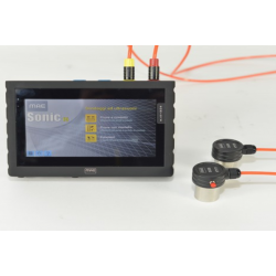
The unit is fully computerized and all its operating functions are selected simply by a touching menu on the color LCD monitor 7" with integrated touch screen.

Number of electrodes: 4

Power supply: Internal 12V battery pack, external battery

Average power consumption: 2,5A, 50A peak

Average autonomy: 9 hours

Environmental operating conditions: -20/80 °C

Resolution: 24 bit

Case: Polypropilene, automatic pressure valve, IP67

Display: LCD 7" integrated touch-screen

Operative system: Windows 10

Ports: LAN, USB

Data recording: internal ssd, USB esternal pen drive

Formato dati: TSV, CSV, DAT

Dimensions: 49 x 19 x 26.4 cm

Weight: 9,6 Kg


Output current:

Regulation: Automatic 5 steps

Maximum intensity: 5A a 50V

Output tension: ±50V, ±100V, ±250V, ±500V, ±800V

Maximum power: 250W

Injection time: settable from 0,25 sec. (graphic visualization of the wave)

Measure accuray: ±0,2μA


Potential measurement:

Range: Auto range

Measure: simultaneous measure on all channels

Maximum full scale: ±25V

Input impedance: 2,5 MOHM

Network frequency filter: 50 Hz

Protection: superior

Measure’s precision: ±1,5μV within the range of ±25V

Noise reduction: average from 2 to 10 measures

Automatic reset of spontaneous potential: Automatic

Accuracy of measured resistivity : ±0,5%

V.E.S. Vertical Electrical Survey+
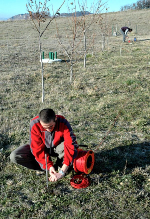
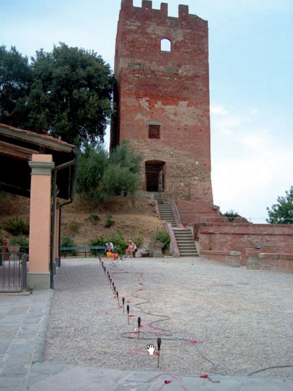
This survey method aims to reconstruct a 1D electro-tomography at a specific measurement point. It involves the geo-electric technique, which experimentally determines the resistivity distribution that defines the electrical structure of a medium. In the SEV method, the distance between electrodes is gradually increased while measuring the ratio between voltage difference (d.d.p.) and current intensity. The resistivity values obtained are influenced by the properties of materials at greater depths, necessitating geometric corrections. This involves introducing factors dependent on the distances between the measurement electrodes (MN) and the input electrodes (AB). Depending on electrode positioning within the geo-electric field, different quadrupole systems, such as Wenner and Schlumberger, are used. The result is a 1D profile of ground resistivity at a specific location.

Induced Polarization Measurement+

Induced Polarization (IP) is an electrical phenomenon that occurs within material media. In the time domain, it is observed as chargeability, which happens when stress is released after the interruption of a step-type electric current. In the frequency domain, it involves the dispersion of electrical resistivity as the frequency of an alternating current changes. IP sources are primarily linked to redox processes at the interfaces between metal grains and interstitial fluids (electrode polarization). Another significant IP source is the accumulation of ions in moving electrolytes due to variations in mobility along the path (electro-kinetic polarization).

Through tomographic inversion of surface data, the resulting images reflect chargeability, enabling the identification of areas with potential hydrocarbon accumulations or other significant concentrations. Chargeability is directly proportional to the amount of charge stored by the lithotype, indicating the concentration of conductive materials in the multi-electrode area.

Spontaneous Potential Measurement+

The Spontaneous Potential (SP) method involves measuring potential differences on the surface that are associated with natural electric fields, which are linked to the underground flow of aqueous electrolytic solutions in porous media. By analyzing SP anomalies on the surface, the intensity and position of ionic charge concentrations of both polarities can be determined.

The test involves placing two electrodes: one near the measurement station and the other moved along subsequent stations on the line. Alternatively, both electrodes can be moved while maintaining a consistent interval between them, mapping the ground based on spontaneous potential variations. This method is particularly useful in mining for locating sulfides and graphite, as well as in archaeology. Underground water flows can be influenced by archaeological structures, which may act as drains or obstacles. By identifying SP anomalies, it is possible to indirectly detect these underground structures.

30 other products in the same category: